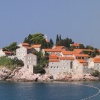
 Montenegro
About the country
Montenegro
About the country
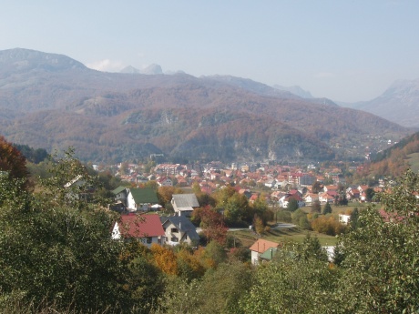
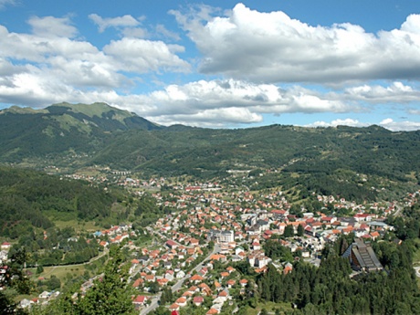
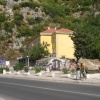
Kolašin is a small resort town located in the headwaters of the Tara river at 954 meters above the sea level near the national park called “Biogradska Gora”. It is surrounded by Belasica, Sineyavina and Kluch mountains. Kolašin is 160 kilometers away from Tivat airport and 80 kilometers away from Podgorica airport. There is also “Podgorica – Beograd” railroad crossing it.
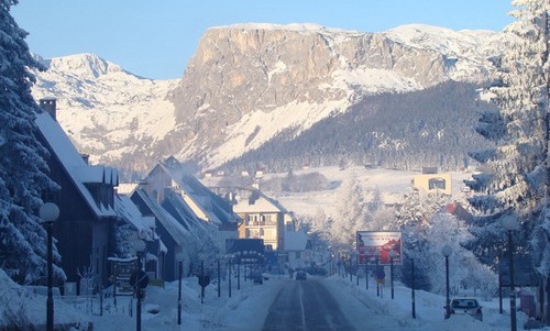
“Trebalevo” and “Belasica” ski centers are only 8,5 kilometers away from the city and one can get there by bus and by car. The tourist season lasts from November to April. The total length of the ski-runs is 15 kilometers with the main down-run being 4,5 kilometers long. Vertical drop is 460 meters with the lowest point at 1420 above the sea level and the highest point at 1880 meters above the sea level. The highest point is located at Chupovi peak. The down-runs are equipped with chair lifts, lifts for children and three platter pulls. The resort also has training centers for alpinists and snowboarders, first-aid post and rescue service post. Two down-runs have been certified by FIS and are used for international sports competitions.
One can easily get to Beograd Forest from Kolašin. The Beograd Forest is known for the diversity of vegetation growing here. There are more than two thousand different species of plants and the Beograd Lake is located in the middle of the national park. Besides this lake there are also about 5 other glacial lakes.
Moracha Monastery was built more than 750 years ago is located not far from Kolašin. The building of the monastery was donated by the Prince Vucan Nemanich and the Dormitory Church which is a part of the monastery had been the royal shrine for a long time. The interior of the church is ornamented by luxurious frescos that include a unique series of frescoes dedicated to Elijah and outstanding icons dated the 17th century.
 Croatia
 Slovenia
 Albania